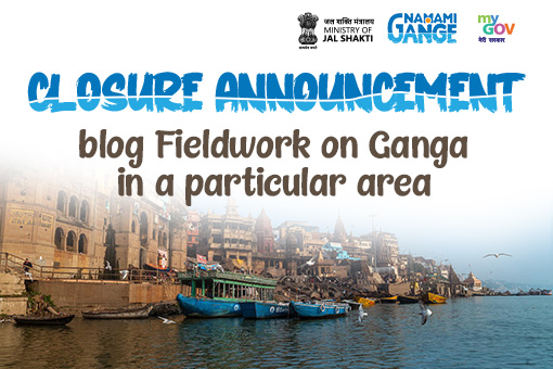
Fieldwork on Ganga in a particular area contest was hosted and citizens of India got an opportunity to work on […]
Ministry of Water Resources, River Development and Ganga Rejuvenation in collaboration with MyGov invited citizens to participate in a task […]
Gangotri is the land from where the holy Ganga originates. Like other places, Gangotri too has become a centre for […]
On the occasion of Ganga Vriksharopan Saptah, the Namami Gange Program planted approximately 1 crore plants in five states along […]
National Informatics Centre (NIC), Ministry of Electronics and Information Technology (MeitY), in collaboration with MyGov, hosted a Tagline Contest for […]
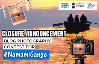
Namami Gange took a unique initiative by allowing the fans and those passionate about river Ganga to participate in a […]
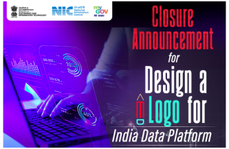
National Informatics Centre (NIC), Ministry of Electronics and Information Technology (MeitY), in collaboration with MyGov, hosted a Logo design contest […]
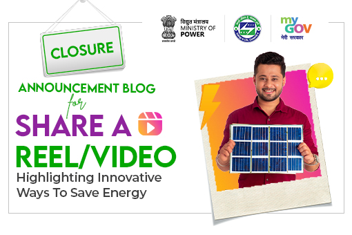
The National Energy Conservation Day is celebrated every year on December 14 since 1991. The Bureau of Energy Efficiency (BEE), […]
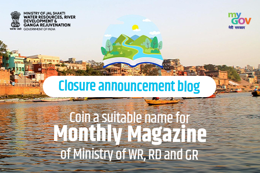
The Ministry of Water Resources, River Development and Ganga Rejuvenation (WR, RD and GR), is responsible for the conservation, management […]

Indian Institute of Carpet Technology (IICT, Bhadohi), an institution under the aegis of the Development Commissioner (Handicrafts), Ministry of Textiles, […]

Participative governance is a paradigm where the citizens and government come together to collectively deliberate all aspects of national development. In this section, senior officials of the Government of India and acknowledged experts in different domains, will periodically deliberate and discuss their vision, ideas, mission and goals with an aim to enrich the national discourse.
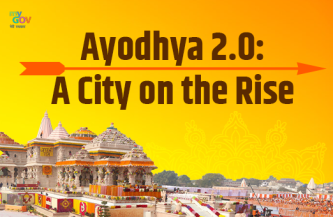
Ayodhya, the legendary birthplace of Lord Rama, is experiencing a renaissance unlike any other. The...
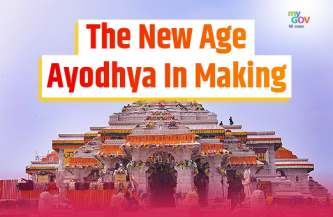
From harnessing the sun's power to embracing Vedic wisdom through AI, the holy city of Ayodhya is...
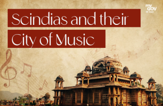
Gwalior has been designated as the Creative City of Music in the UNESCO Creative Cities Network (UCCN),...
Follow us
© Content owned, updated and maintained by the MyGov Cell. This website belongs to MyGov, Ministry of Electronics & Information Technology, Government of India.
Platform is designed, developed and hosted by National Informatics Centre.